
The research project studies the disintegration and isolation of public schools in the cities as a result of the lack of a unified planning process. We investigated the extent to which the public school system is integrated into the public social infrastructure in particular recreation amenities such as parks, sport areas, public pools, playgrounds and water plays to explore the mutual advantage each can offer to another.
Public Schools are perceived - and even planned - as independent entities within the city, as opposed to being integrated into the urban fabric.
The project seek to explore:
1. How spatially integrated is the public schools system into the social infrastructure?
2. What is the relationship between the potential spatial integration and the need of space of each school?
We hypothesized that the greater the number of recreation amenities in the city, the higher the potential of integration for school buildings. The indicator may be accurate to identify the potential trade-off to integrate the public school system into the city’s urban fabric. For this exploratory analysis, we focus on the city of Cambridge that, since its size allows a more granular analysis for the study of schools. The city has a total of 17 public school buildings with 6,800 students.
Methodology
To measure the potential that schools have to be integrated into the city’s urban fabric we analyzed the availability of public social infrastructure, understood as the ease with which it is possible to access these spaces from a particular school location. Once we have determined which public social infrastructure is available for each school, we also evaluate the capacity of each school building to identify the need of additional or supplementary space for recreational or academic activities.
Mapping schools and recreational amenities
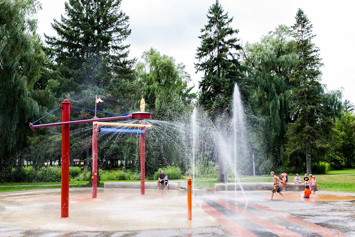
The geo processing work starts with mapping public school buildings and five types of recreation amenities: parks, sport areas, public pools, water plays and playgrounds that can serve as a supplementary space for the school community.

Calculating isochrones for each school facility
We used OpenTripPlanner to generate isochrones considering each school as an origin point. We set up the conditions to account for isochrones for 15 min and 30 min and with only walking as a means for transportation for the purpose of this analysis. Alternatively, this calculation could be performed considering driving time or travel time in public transportation. Consequently, we intersected school coverage area with points of public social infrastructure, obtaining only those points reachable by walking, and calculate the spatial integration index. The calculation is done for each level of education.

Mapping school capacity
The capacity of school infrastructure within the coverage area of each school in Cambridge was based on calculations done by the Massachusetts School Building Authority. We overlapped the school capacity with the results of the spatial integration index to determine which schools with overused capacity can benefit from the supply of recreational amenities in the surroundings.

Findings
Overall, schools for the three levels of education show different scores as they have different recreational amenities in the surroundings and different needs of recreational spaces, the highest score better the potential for urban integration. Spatial integration scores range between 12 to 44 for early childhood and elementary schools, showing similar patterns for integration in both levels of education. On the other hand, spatial integration scores range between 22 to 52 for secondary schools, displaying different spatial results in the Cambridge area. Early childhood and elementary schools have the highest spatial integration concentrated around The Port and East Cambridge, whereas the lowest is in North and West Cambridge. Contrarily for secondary schools, the greater spatial integration is concentrated around West Cambridge and Cambridge port, while the lowest is in The Port and North Cambridge.
The results of the school spatial integration overlapped with the school building capacity illustrate two relationships (see figure 4). There is an evident mismatch between the spatial integration index and the school building capacity index in some schools. At least six schools with the needs of additional space have a lower integration index. That means surrounded public amenities cannot serve as supplementary space for recreational or pedagogical activities, and thus, those schools have higher priority for expansion interventions. Differently, six schools with underused capacity have a higher potential for urban spatial integration to the Cambridge area. Those schools can potentially receive transfer students or new ones.


